

Introduction
India is at a critical juncture when it comes to water sustainability. As the world’s largest user of groundwater, the country faces a severe depletion crisis—especially in key agricultural states like Punjab, Haryana, Tamil Nadu, and Rajasthan. With over 60% of farming dependent on underground water, this scarcity is no longer just a future concern—it’s a present-day emergency. That’s where underground water mapping in India is making headlines in 2025.
This article explores how new-age tools like Artificial Intelligence (AI), drones, and GIS mapping are being used to identify, monitor, and manage India’s groundwater more effectively than ever before.
What Is Underground Water Mapping?
Underground water mapping is a process of locating, visualizing, and analyzing water-bearing formations (aquifers) that lie beneath the earth’s surface. In the past, this process was rudimentary—often involving trial-and-error borewells or manual geological surveys. Today, it is data-driven, fast, and precise.
Key technologies include:
- Hydrogeological Surveys
- Ground Penetrating Radar (GPR)
- Drones equipped with sensors and LiDAR
- GIS and AI-powered data analysis
This combination enables experts to create 3D models that accurately predict where water is and how deep it lies.
Why India Needs Underground Water Mapping Now More Than Ever
Here’s why underground water mapping in India has become urgent:
- India consumes more groundwater than China and the USA combined.
- As per a NITI Aayog report, over 21 Indian cities may exhaust their groundwater by 2030.
- Nearly 90% of rural drinking water and 60% of irrigation depend on underground water.
Despite this dependency, groundwater is poorly managed. Without reliable data, poor decisions lead to over-extraction and dry borewells.
How AI and Drone Technology Is Transforming Water Mapping in 2025
The water mapping process now integrates several smart technologies to offer actionable insights:
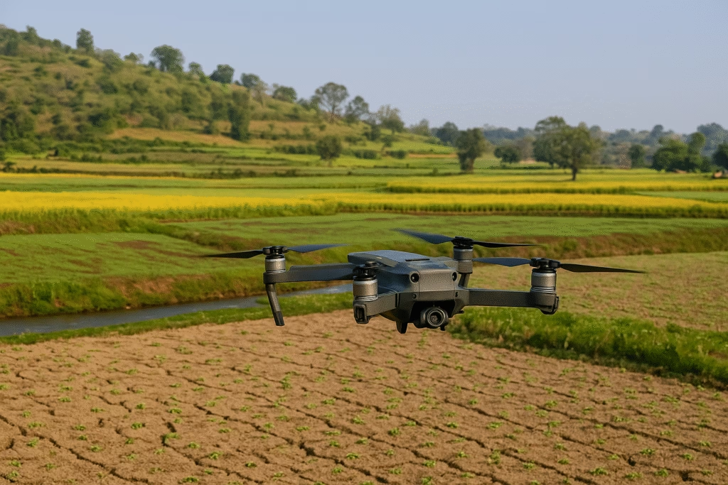
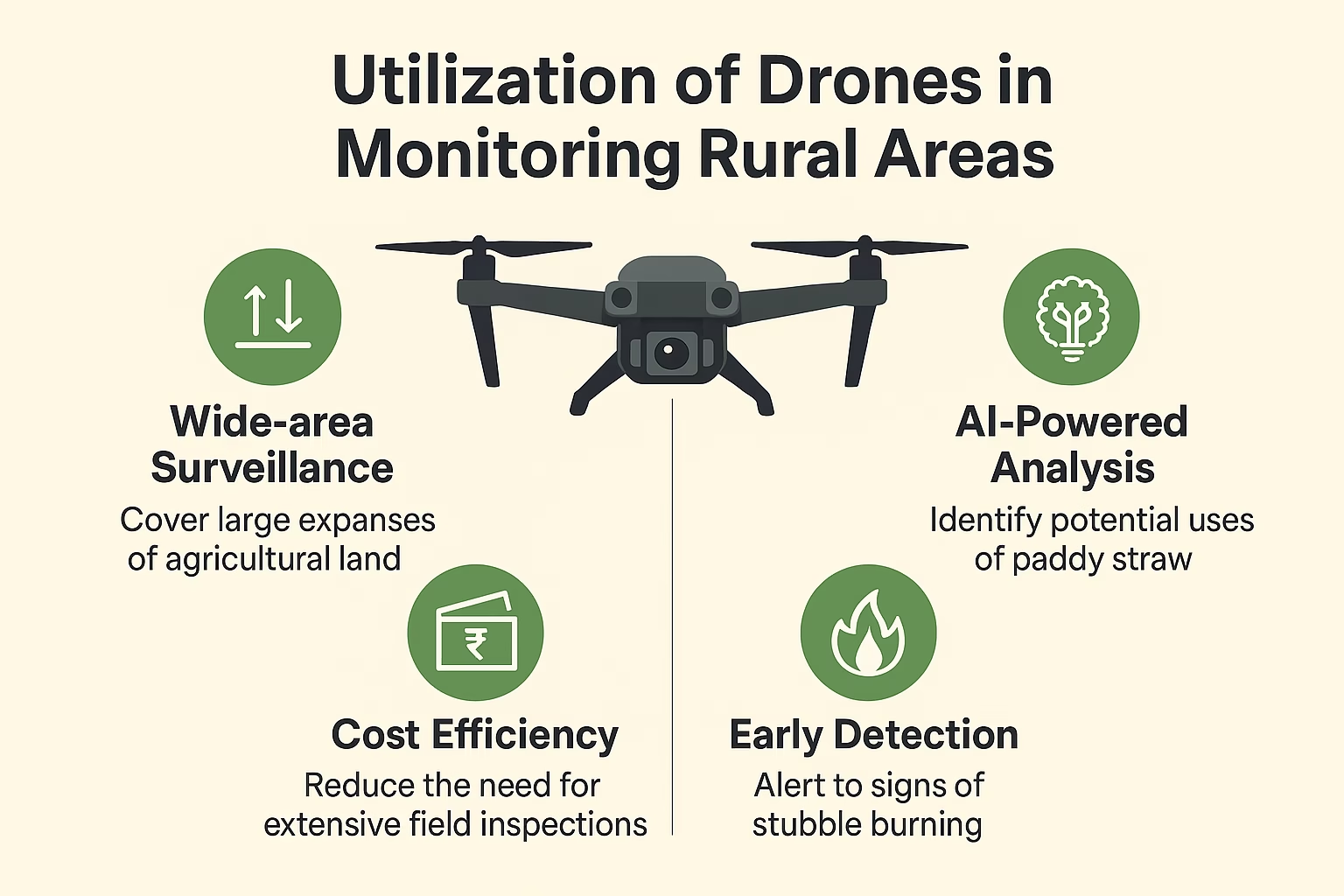
- Drone-Based Surveying
- Drones are dispatched over vast areas to capture topographical and sub-surface data.
- Ground Penetrating Radar (GPR) & LiDAR
- These tools penetrate the soil to identify aquifer structures and depth.
- AI & Machine Learning Models
- AI models predict the most probable areas for water storage by analyzing terrain, historical rainfall, and rock formations.
- GIS Mapping
- Combines various data sources to produce interactive, visual maps of underground water availability.
- Data Integration Platforms
- These maps are uploaded to cloud dashboards for planners, government officials, and even farmers to access.
Government Programs Leading the Way
Several central and state government schemes have accelerated the adoption of underground water mapping in India:
1. Atal Bhujal Yojana (ABHY)
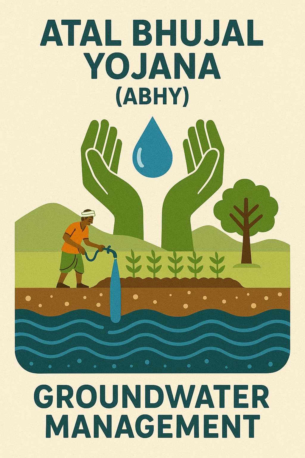
- Launched to improve groundwater management in over 8,300 panchayats.
- Focuses on community participation and scientific planning.
- Uses GIS and drone surveys for implementation.
2. Jal Shakti Abhiyan
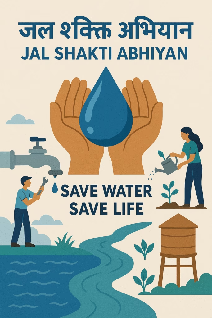
- Launched to improve water conservation in 256 water-stressed districts.
- Includes remote sensing, satellite mapping, and AI forecasting.
3. National Aquifer Mapping and Management Programme (NAQUIM)
- A Central Ground Water Board (CGWB) initiative.
- Aims to map and manage aquifers across India’s 25 million sq. km groundwater area.
REALTED :Smart Meters in India: How They Work, Benefits, and What You Must Know in 2025
Key Benefits of Underground Water Mapping in India
1. Smarter Farming
Farmers can now drill borewells in areas with the highest success rates. This reduces wastage and increases crop security.
2. Huge Cost Savings
Avoiding failed borewell attempts and unproductive digging can save lakhs of rupees per community.
3. Better Urban Planning
City planners use water maps to plan stormwater drainage and rainwater harvesting more effectively.
4. Disaster Mitigation
Groundwater maps help identify regions prone to drought, allowing for preemptive solutions.
5. Environmental Protection
Helps reduce over-extraction of aquifers and promotes natural recharge through check dams and bunds.
Challenges Hindering Mass Adoption
While promising, underground water mapping still faces hurdles:
- High Initial Investment: The tech and manpower required are expensive.
- Data Skills Gap: Many local bodies lack the expertise to use AI models or GIS systems.
- Privacy and Ownership Concerns: Communities fear losing control over their natural resources.
- Connectivity and Infrastructure: Poor internet in remote regions makes real-time tracking hard.
Real-World Success Stories
✅ Mahbubnagar, Telangana
Drone surveys pinpointed viable aquifers. Nearly 50 farmers dug successful borewells and improved yield despite erratic monsoons.
✅ Vidisha, Madhya Pradesh
Under Atal Bhujal Yojana, villagers used AI-generated water maps to build check dams. Their water table rose by over 2 meters in one season.
✅ Bundelkhand, Uttar Pradesh
Local NGOs used GIS-based underground mapping to recharge dried-up ponds and lakes, reviving the ecosystem.
Looking Ahead: Future Innovations
The next wave of underground water management could include:
- Real-time Groundwater Apps: Accessible dashboards for public and policymakers.
- AI-Powered Predictive Models: Forecast changes based on rainfall or usage patterns.
- Blockchain Integration: For transparent and tamper-proof water data.
- IoT Sensors: Embedded underground for continuous tracking of aquifer health.
- Satellites + AI: Combining high-res satellite imagery with on-ground AI to track aquifers.
Conclusion
India’s groundwater crisis cannot be solved through guesswork. The 2025 transformation through underground water mapping in India is a landmark shift toward sustainability. By using technology, we can move from reactive to proactive water management. Whether you’re a farmer hoping for a successful borewell, a policymaker seeking data-driven decisions, or a citizen concerned about water security—this is the future we must embrace.
FAQs
Q1: Is underground water mapping in India legal and government-approved?
Yes, several national schemes actively fund and promote it, including NAQUIM and Atal Bhujal Yojana.
Q2: Can individuals or farmers access water mapping data?
Yes, in many cases through local DISCOMs, Gram Panchayats, or via RTI applications.
Q3: How accurate are these technologies?
Accuracy ranges from 80–95%, depending on soil and tech quality.
Q4: What is the cost of conducting an underground water mapping in india survey?
Typically ranges from ₹50,000 to ₹2 lakh per region depending on geography and tools used.